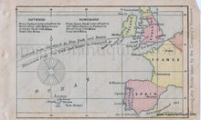
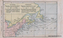
1880
Maker: Bradstreet.
Antique early printed color miniature map showing the eastern coast of America and Canada with Cunard ship routes to and from Western Europe, in two sheets. From Bradstreet's Pocket Atlas Of The United States, Published Exclusively for Macullar, Parker & Company in 1880. In good to very good overall antique condition with minor toning and foxing. Each map measures approximately 3 x 5 inches, individually.
Item Number: USA305


