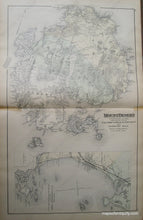
c. 1885
Maker: Stuart/Colby.
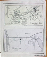
Hand-colored, richly detailed antique map of Mt. Desert Island, Somes Sound, Southwest Harbor, and the Cranberry Islands at the end of the 19th century, long before Acadia National Park was established, listing hundreds of property owners, including topographical detail and elevations; Bar Harbor appears on eastern edge of map and inset shows coasts of Scarborough, Old Orchard, Saco and Biddeford. Verso maps: Casco Bay from Broad Sound to Cape Elizabeth Light and the Timber Lands of Maine No. 1 (See MAI058); Saccarappa, Cumberland Mills, Washburn Village. Very good condition with some small stains and a small tear in the right margin. Measures approx. 25 x 15 inches. **SOLD**
Item Number: MAI059


