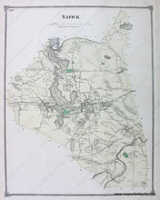
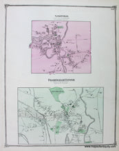
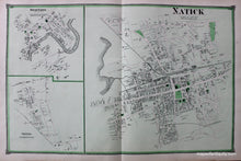
Genuine Antique Hand Colored Map
1875
Maker: Beers.
Antique hand colored map of the town of Natick, Mass., from the Middlesex County Atlas, by Beers & Co., 1875. On the back side of the page are maps of Saxonville and Framingham center. The maps show roads, railroads, some topography, and property owners names (densely populated areas of the Natick map are enlarged on another sheet). Measures approx. 14 x 11 inches to the neatline. In very good condition with some minor spots as shown.
Genuine Antique Map from 1875
Item Number: MAS669A


