1845
Maker: Mitchell.
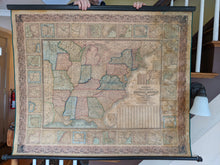
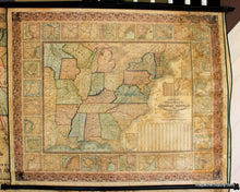
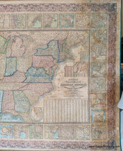
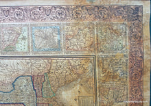
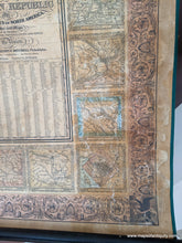
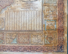
Antique hand-colored wall map, Mitchell's National Map of the American Republic or United States of North America, together with Maps of the Vicinities of thirty two of the Principal Cities and Towns in the Union, by Augustus Mitchell, includes statistics of 1840 populations, very good condition, some toning on right, restored, re-backed, deacidified, 38" x 45". **NOTE- because this map requires extra insurance for shipping, an additional charge will appear on your card after your original purchase. If you would like to know what that charge will be, please contact us.**
Item Number: NAM142


