Pickup available at 1409 MAIN ST, CHATHAM MA
Usually ready in 24 hours
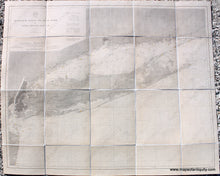
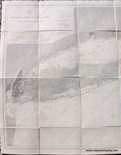
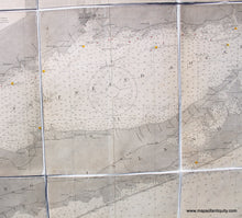
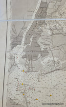
1889/1899 - Montauk Point to New York and Long Island Sound - Antique Chart
-
1409 MAIN ST, CHATHAM MA
Pickup available, usually ready in 24 hours1409 Main Street
Chatham MA 02633
United States+15089451660
1889/1899
Maker: US Coast & Geodetic Survey
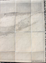
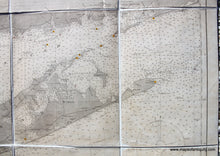
Antique folding nautical chart of Long Island with Manhattan NY, New York City NYC, Long Island Sound, and more, by the US Coast and Geodetic Survey, 1889 and corrected to 1899. A faded stamp in the bottom left says that aids to navigation were corrected to 1902. Shows towns, cities, railroads, lighthouses and lightships, water depths, navigational information, and more. Very good restored condition with some minor signs of age include slight paper loss. This chart was cleaned and rebacked on linen. Measures approx. 33.75 x 42.5 inches to the neatline. **NOTE- because this map requires extra insurance for shipping, an additional charge will appear on your card after your original purchase. If you would like to know what that charge will be, please contact us.**
Item Number: NAU390


