1895/1897
Maker: US Coast & Geodetic Survey
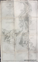
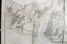
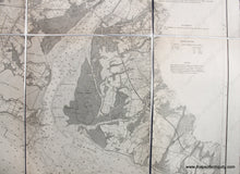
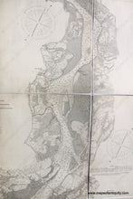
Antique folding nautical chart of part of the Connecticut River by the US Coast and Geodetic Survey, 1895, corrected to 1897. Features careful detail on the land including roads, houses, topographic information, etc. With soundings, and information on tides, light houses, buoys, tides, and more. Very good overall condition, restored, cleaned, deacidified, and rebacked with linen. Approx. 22.5 x 38.5 inches to the neatline.
Item Number: NAU392


