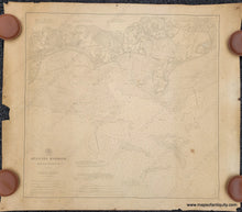
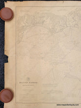
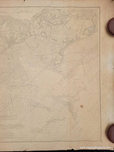
Genuine Antique Nautical Chart
1896/1911
Maker: US Coast and Geodetic Survey
Antique nautical sailing chart of Hyannis Harbor with Centerville Harbor and Lewis Bay, published by the US Coast and Geodetic Survey in 1896 and corrected to 1911. With part of Osterville, Centerville, Hyannis Port, and Point Gammon, now known as Great Island. This chart includes sailing and navigational information including tides, lighthouses, water depths, and ocean floor composition. Good to very good antique condition with overall toning, some paper loss at edges, and some minor stains. Measures approx. 25 x 26.25 inches to the neatline.
Item Number: NAU401


