Genuine Antique Coast Chart
1861
Maker: U.S. Coast Survey
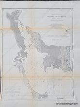
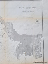
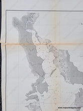
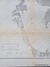
Antique coast survey chart of the entrance of North Landing River along the border of Virginia and North Carolina, published by the US Coast Survey in 1861. Includes Knotts Island and Mackay Island. With folds as issued. Good antique condition with some repaired tears, some toning, especially along folds, some wrinkling. Measures approx. 21 x 16.25 inches to the neatline.
Item Number: NAU405


