Current hours: 10am to 5pm Monday through Saturday. 12pm to 5pm Sundays. IMPORTANT PLEASE NOTE: We have become aware that some of our photos have been stolen by other websites. Our maps are only available at our website www.mapsofantiquity.com or at our store!

Genuine-Antique-Nautical-Chart-Chart-of-the-Sandheads-Bay-of-Bengal-by-Captain-Lloyd-c-1840-Captain-Lloyd-Maps-Of-Antiquity
  • Load image into Gallery viewer, Genuine-Antique-Nautical-Chart-Chart-of-the-Sandheads-Bay-of-Bengal-by-Captain-Lloyd-c-1840-Captain-Lloyd-Maps-Of-Antiquity
  • Load image into Gallery viewer, Genuine-Antique-Nautical-Chart-Chart-of-the-Sandheads-Bay-of-Bengal-by-Captain-Lloyd-c-1840-Captain-Lloyd-Maps-Of-Antiquity
  • Load image into Gallery viewer, Genuine-Antique-Nautical-Chart-Chart-of-the-Sandheads-Bay-of-Bengal-by-Captain-Lloyd-c-1840-Captain-Lloyd-Maps-Of-Antiquity
  • Load image into Gallery viewer, Genuine-Antique-Nautical-Chart-Chart-of-the-Sandheads-Bay-of-Bengal-by-Captain-Lloyd-c-1840-Captain-Lloyd-Maps-Of-Antiquity
  • Load image into Gallery viewer, Genuine-Antique-Nautical-Chart-Chart-of-the-Sandheads-Bay-of-Bengal-by-Captain-Lloyd-c-1840-Captain-Lloyd-Maps-Of-Antiquity
  • Load image into Gallery viewer, Genuine-Antique-Nautical-Chart-Chart-of-the-Sandheads-Bay-of-Bengal-by-Captain-Lloyd-c-1840-Captain-Lloyd-Maps-Of-Antiquity

1840 (circa) - Chart of the Sandheads, Bay of Bengal, by Captain Lloyd - Antique Chart

Regular price
$1,100.00
Sale price
$1,100.00
Regular price
Sold out
Unit price
per 
Shipping calculated at checkout.

Item number: NAU412
Genuine Antique Nautical Chart

c. 1840

Maker: Captain Lloyd


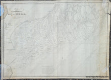
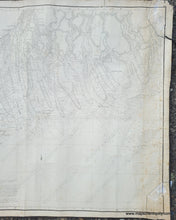
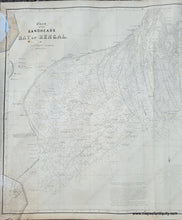
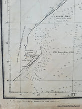
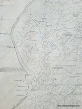
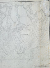
Antique nautical chart of the part of the Bay of Bengal near the Hooghly River the leads to Calcutta. From Captain Lloyd's surveys in 1835. It includes the area from False Point to Cowcolly Light. With an impressive number of soundings throughout, and showing shoals, refuges, lighthouses, and more. Printed by the "Bengal Litho Press". There were litho printing businesses in Calcutta as early as the 1820s and a record in the 1850s notes that there were 46 different printers in the city. This chart does not have a date on it, but it can be presumed to have been published sometime around 1840. Captain Richard Lloyd was a Marine Surveyor General of India. This chart is backed with linen and was finished on the edges with silk ribbon, which is now detaching. Fair to Good overall condition with some foxing, some wrinkling, some edge wear, and water stains on the left side. Measures approx. 29.5 x 41.5 inches to the neatline. (glass weights used to hold the chart open for photographing are visible in the images)


Item Number: NAU412