1909
Maker: US Coast and Geodetic Survey
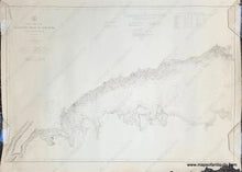
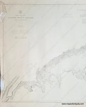
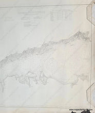
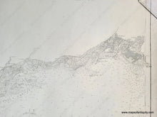
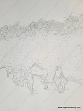
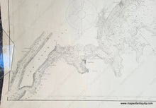
Antique nautical chart showing the western part of Long Island Sound from New York City to Port Jefferson NY and Stratford CT, published in 1909. Coast Chart 116, 1909 edition of chart first published 1852. Includes Manhattan, New Rochelle, College Point, Larchmont, Mamaroneck, Davenport Neck, Flushing, Port Chester, Oak Neck, Oyster Bay, Cold Spring, Huntington, Northport, Strong's Neck, Stamford, Norwalk, South Port, Bridgeport, and more. Shows roads, railroads, water depths, some topography. Good to very good antique condition with mild stains and wear at the paper edges. Some repaired tears. Measures approx. 28.5 x 41.75 inches to the neatline.
Item Number: NAU415


