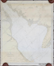
1926
Maker: USC&GS
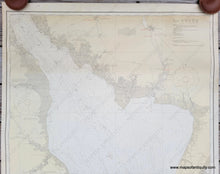
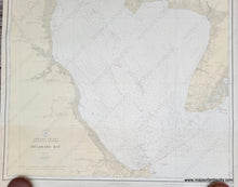
Antique nautical chart of Delaware Bay, published in 1926 by the US Coast and Geodetic Survey. Shows Cape May, Cape Henlopen, and as far north as Bridgeton NJ and Smyrna River in Delaware. With water depths, aids to navigation, and some coastal information. Very good antique condition with some minor wrinkles and a few small stains. Measures approx. 37 x 30.5 inches to the neatline.
Item Number: NAU424


