Item number: NAU427
Genuine Antique Nautical Chart
1876
Maker: Imray & Son
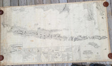
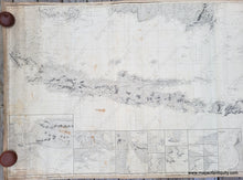
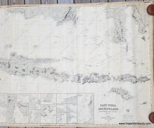
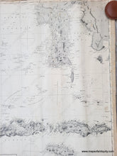
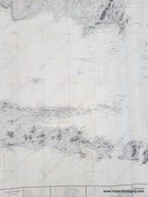
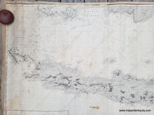
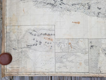
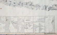
Antique blue back nautical chart by James Imray and Son, 1876. Includes Java, Sunda Strait, parts of Sumatra and Borneo, the Celebes, Lombok, and Sumbaya. This chart has sixteen insets showing various straits and bays in the area, includin Sourabaya Strait, Baly Strait, Sapoedoe Strait, Sapie Bay, Segoro Wedie Bay, and Macassar. Good overall antique condition, with some stains and wear that is consistent with a used nautical chart, such as minor wrinkles. A previous owner, in an attempt to protect the chart edges, apparently glued fabric around the edged of the chart, which has successfully prevented any tearing. Approx. 40 x 72.5 inches. **NOTE- This map requires extra insurance. If you would like to discuss shipping or the shipping cost, please contact us.**
Genuine Antique Chart from 1876
Item Number: NAU427


