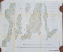
Genuine-Antique-Coast-Survey-Chart-Untitled-Narragansett-Bay-southern-half--1873-USCS-Maps-Of-Antiquity
  • Load image into Gallery viewer, Genuine-Antique-Coast-Survey-Chart-Untitled-Narragansett-Bay-southern-half--1873-USCS-Maps-Of-Antiquity
  • Load image into Gallery viewer, Genuine-Antique-Coast-Survey-Chart-Untitled-Narragansett-Bay-southern-half--1873-USCS-Maps-Of-Antiquity
  • Load image into Gallery viewer, Genuine-Antique-Coast-Survey-Chart-Untitled-Narragansett-Bay-southern-half--1873-USCS-Maps-Of-Antiquity

1873 - Untitled [Narragansett Bay, southern half] - Antique Coast Chart

Regular price
$225.00
Sale price
$225.00
Regular price
Sold out
Unit price
per 
Shipping calculated at checkout.

Item number: NAU432
Genuine Antique Coast Survey Chart

1873

Maker: USCS

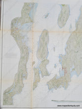
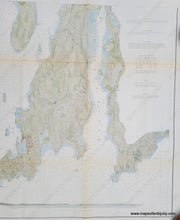
Antique coast survey of part of Narragansett Bay, by the US Coast Survey, 1873. Hand-colored by a professional colorist. This is the southern half of a two-part chart and it includes Newport, Jamestown, Little Compton, Wickford in North Kingstown, Portsmouth, and more. With information on light vessels, soundings, ocean floor material, bouys, etc. Very finely detailed color, with a recognition profile showing the entrance of Narragansett Bay. Very good antique condition, with minor toning, slight wrinkles, tiny separations at fold intersections. Measures approx. 23.5 x 30 inches.

Item Number: NAU432