Genuine-Antique-Nautical-Chart-Damariscotta-and-Medomak-Rivers-1909-U-S-Coast-and-Geodetic-Survey--Maps-Of-Antiquity
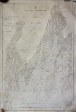
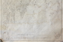
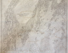
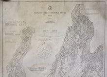
1909 - Damariscotta and Medomak Rivers - Antique Chart
  • Load image into Gallery viewer, Genuine-Antique-Nautical-Chart-Damariscotta-and-Medomak-Rivers-1909-U-S-Coast-and-Geodetic-Survey--Maps-Of-Antiquity
  • Load image into Gallery viewer, Genuine-Antique-Nautical-Chart-Damariscotta-and-Medomak-Rivers-1909-U-S-Coast-and-Geodetic-Survey--Maps-Of-Antiquity
  • Load image into Gallery viewer, 1909 - Damariscotta and Medomak Rivers - Antique Chart
  • Load image into Gallery viewer, 1909 - Damariscotta and Medomak Rivers - Antique Chart
  • Load image into Gallery viewer, 1909 - Damariscotta and Medomak Rivers - Antique Chart
  • Load image into Gallery viewer, 1909 - Damariscotta and Medomak Rivers - Antique Chart

1909 - Damariscotta and Medomak Rivers - Antique Chart

Regular price
$500.00
Sale price
$500.00
Regular price
Sold out
Unit price
per 
Shipping calculated at checkout.

Item number: NAU498
Genuine Antique Nautical Chart

1909

Maker: U.S. Coast and Geodetic Survey

Black and white antique nautical chart, shows the area around Pemaquid Neck including Muscongus Bay and the Damariscotta and Medomak Rivers with detailed bathymetric data. Great condition, toned, slight foxing, approximately 38" x 25" to the neat lines

Item Number: NAU498