Genuine Antique Nautical Chart
1882
Maker: U.S. Navy Hydrographic Office
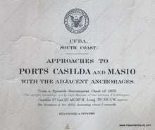
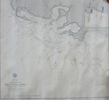
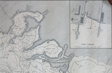
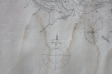
Black and white antique nautical chart, shows the area around Port Masio from Port Casilda to Palomar Bay with detailed bathymetric data and inset of Port Casilda. Poor condition, toned, stained, slight wear to edges, approximately 18" x 20" to the neat lines
Item Number: NAU513


