1886
Maker: Davies, Bryer & Co.
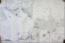
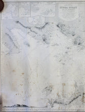
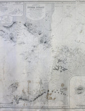
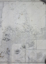
Black and white antique nautical chart, shows the area around the Sunda Straight between Sumatra and Java Island with detailed bathymetric data and insets of New Anjer Road, Zutphen, Mew Bay, Kalang Bayang Harbor, Kiloang Harbor, Lagundia Straight, and Lagundi Harbor. Poor condition, toned, plotting marks, stained, approximately 25" x 38" to the neat lines
Item Number: NAU516


