Genuine-Antique-Nautical-Chart-Noordkust-Java-Vierde-Punt-tot-Hoek-Kerawang-1887-C-A-Huskes-Maps-Of-Antiquity
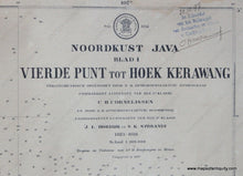
1887 - Java - Noordkust Java Vierde Punt tot Hoek Kerawang - Antique Chart
  • Load image into Gallery viewer, Genuine-Antique-Nautical-Chart-Noordkust-Java-Vierde-Punt-tot-Hoek-Kerawang-1887-C-A-Huskes-Maps-Of-Antiquity
  • Load image into Gallery viewer, Genuine-Antique-Nautical-Chart-Noordkust-Java-Vierde-Punt-tot-Hoek-Kerawang-1887-C-A-Huskes-Maps-Of-Antiquity
  • Load image into Gallery viewer, 1887 - Java - Noordkust Java Vierde Punt tot Hoek Kerawang - Antique Chart
  • Load image into Gallery viewer, 1887 - Java - Noordkust Java Vierde Punt tot Hoek Kerawang - Antique Chart
  • Load image into Gallery viewer, 1887 - Java - Noordkust Java Vierde Punt tot Hoek Kerawang - Antique Chart

1887 - Java - Noordkust Java Vierde Punt tot Hoek Kerawang - Antique Chart

Regular price
$500.00
Sale price
$500.00
Regular price
Sold out
Unit price
per 
Shipping calculated at checkout.

Item number: NAU518
Genuine Antique Nautical Chart

1887

Maker: C.A. Huskes

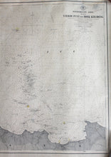
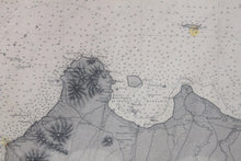
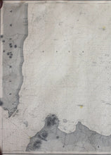
Black and white antique Dutch nautical chart, shows the area around the north coast of Java from the Fourth Point to Kerawang with detailed bathymetric data. Good condition, toned, foxing, approximately 26" x 33" to the neat lines

Item Number: NAU518