Item number: NAU526
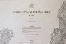
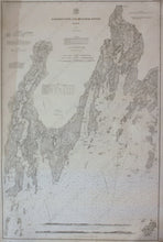
Genuine Antique Nautical Chart
1878
Maker: U.S. Coast Survey
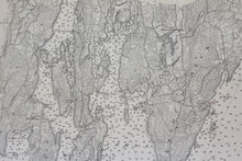
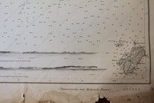
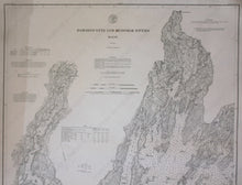
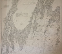
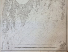
Black and white antique nautical chart, shows the area around Pemaquid Neck including Muscongus Bay and the Damariscotta and Medomak Rivers with detailed bathymetric data. Great condition, toned, slight wear to bottom edge, approximately 38" x 25" to the neat lines
Item Number: NAU526


