1905
Maker: US Coast & Geodetic Survey
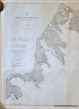
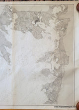
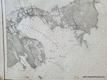
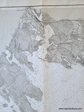
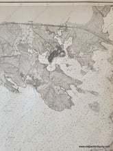
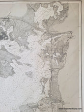
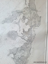
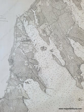
Antique chart of the head of Buzzards Bay published in 1905 by the US Coast and Geodetic Survey (USCGS). Includes Falmouth, Wareham, Marion, Mattapoisett, Buzzards Bay, Scraggy Neck, etc. This is before the Cape Cod Canal- the Monument River is on the chart where the canal would eventually be dug. With water depths and navigational information. Very good antique condition with a vertical fold at center, some other minor creases and minor wear at the paper edges. Measures approx. 33.25 x 41 inches to the neatline.
Genuine Antique Chart from 1905
Item Number: NAU545


