Item number: NAU546
Genuine Antique Chart
1913
Maker: US Coast & Geodetic Survey
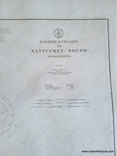
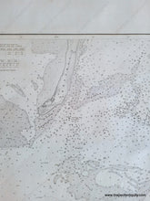
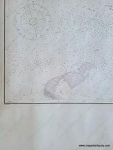
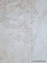
Antique chart of the entrance to Nantucket Sound between Monomoy in Chatham and Great Point Nantucket, published in 1913 by the US Coast and Geodetic Survey (USCGS). With water depths and navigational information. Very good antique condition with a vertical fold at center, some other minor creases and minor wear at the paper edges. Measures approx. 24 x 33.5 inches to the neatline.
Genuine Antique Chart from 1913
Item Number: NAU546


