Pickup available at 1409 MAIN ST, CHATHAM MA
Usually ready in 24 hours
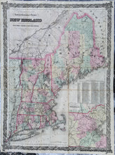
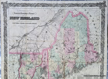
1875 - G. Woolworth Colton's Railroad, Township & Distance Map of New England with adjacent portions of New York, Canada & New Brunswick. - Antique Map
-
1409 MAIN ST, CHATHAM MA
Pickup available, usually ready in 24 hours1409 Main Street
Chatham MA 02633
United States+15089451660
1875
Maker: G.W. & C.B. Colton
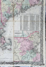
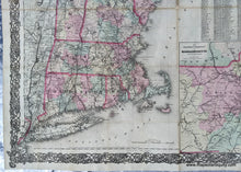
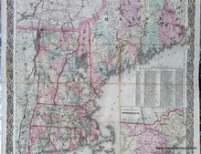
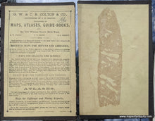
Antique hand colored map of New England by G.W. & C.B. Colton, 1875. This impressive map was originally issued as a folding map in a pocket-sized booklet that claimed show "every station &c." It shows Maine to New York City and Long Island, with New England state borders, town boundaries, and colored by county. Inset map of the vicinity of Boston. Also includes a Table of Distances showing the distances from many towns and cities to New York, Hartford, Providence, Boston, Montpilier, Concord, and Augusta. Ornate decorative border. The map has been removed from the case, cleaned, flattened, and backed, and the case is included with the purchase of the map. It is in good to very good restored condition with some lingering toning along fold lines and some minor paper loss at fold intersections. Measures approx. 39 x 29.25 inches to the sheet edges.
Item Number: NEW186


