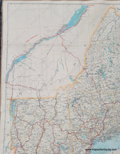
1909
Maker: Walker
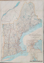
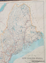
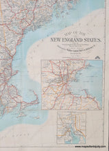
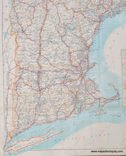
Antique map of New England published by Walker, 1909. Inset maps of the vicinity of Boston and the vicinity of Providence. Includes all of New England- Connecticut, Rhode Island, Massachusetts, Vermont, New Hampshire, and Maine. This map was published at an interesting time in the evolution of travel, when the United States was poised to move from railroad travel as the predominant method of transport to automobile. Railroad travel dominated travel from 1830 to the early 20th century. Even several decades after its invention in 1884, the car was looked upon as a frivolous toy. Not only were they expensive, but there weren't any roads on which to drive them. Among the many names originally given to the car, "stink chariot" stands out, presumably referring to the unpleasant smell of exhaust. Despite the initial negative images people had of automobiles, between 1900 and 1915, the number of cars in America jumped from just 8,000 to more than 2 million. Automobiles offered a freedom in travel that trains could not match. This map shows automobile roads, specifically "Direct routes," in red and train routes in thin black lines with bubbles for the stops. Very good restored condition, this map has been cleaned and backed. It has some damage along the folds that has been repaired in the restoration process. Paper has a slight waviness. Measures approx. 40 x 27.5 inches to the neatline.
Item Number: NEW203


