1911
Maker: US Dept of Agriculture
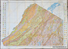
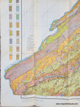
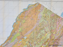
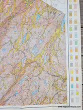
Antique map of the northernmost part of New Jersey published by the U.S. Department of Agriculture, Field Operations of the Bureau of Soils, 1911. This impressive map shows the soil composition with a key on the sides, as well as towns, roads, villages, railroads, lakes, rivers, etc. It covers Montague to Knowlton along the Delaware River (with the Delaware Gap area), and Vernon to Montville in the east. Very good condition with some minor separations at some of the fold intersections. Folds as issued. Measures approx. 30 x 39 inches to the neatline and 33 x 45 inches to the paper edges.
Item Number: NJE778


