1851
Maker: Mitchell.
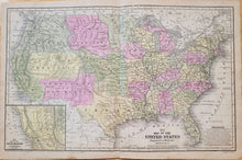
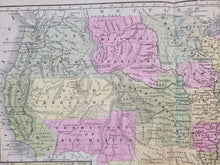
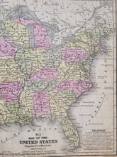
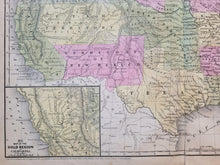
Antique hand colored map of the United States, by Mitchell, copyrighted 1849 and published 1851 in Mitchell's School Atlas published by Thomas, Cowperthwait & Co. Includes topographical detail, the sites of Indian settlements, and railroads. Features an inset map of the Gold Region of California. Interesting notes are the territories of Oregon, Utah, New Mexico, Missouri, a huge Indian Territory, and a very large Minnesota. The Gadsden Purchase had not yet settled the border between the US and Mexico, so the boundary shown on the map is unusual. Good condition with mild toning, some minor stains at the paper edges, and a small separation at the bottom fold. Measures approximately 10.5" x 16.75" to the neatline.
Item Number: USA011


