Genuine Antique Hand Colored Map
1873
Maker: Beers, Comstock, & Cline.
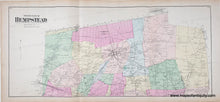
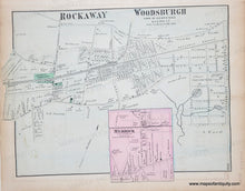
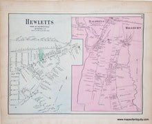
Antique hand-colored map from the Atlas of Long Island, New York, by Beers, Comstock, & Cline, 1873. Centerfold map is the North Part of Hempstead, with Garden City, Smithville, Fosters Meadow, Valley Stream, Greenwich Point, Jerusalem. On back of one side is a map of Rockaway, Woodsburgh, and Merrick and on the back of the other side, Hewletts, Baldwins, Millburn. With folds as issued. Centerfold maps measures approx. 13.5 x 30.5 inches. Verso maps are approx. 10 x 13.5 inches. Good to very good overall antique condition with mild toning, areas of mild stains, some mild foxing.
Genuine Antique Map from 1873.
Item Number: NYO032


