1895
Maker: US Coast and Geodetic Survey.
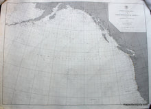
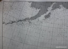
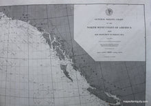
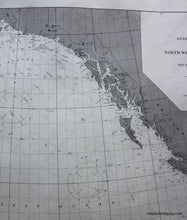
General Sailing Chart of the North West Coast of America from San Francisco to Bering Sea, a rare chart showing detailed coastline from San Francisco to the Alaskan Penninsula including lighthouses. 27 3/4" x 38 3/4". Map has been cleaned, rebacked and restored, first published in 1892 and printed in 1895, very good condition. **NOTE- because this map requires extra insurance for shipping, an additional charge will appear on your card after your original purchase. If you would like to know what that charge will be, please contact us.**
Item Number: NAU166


