1854
Maker: U.S. Coast Survey.
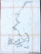
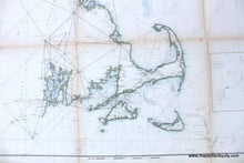
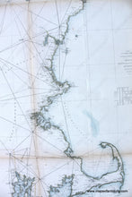
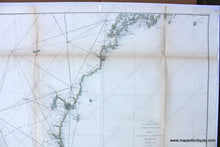
Hand colored antique coastal chart showing the northeast coast of the United States, including Cape Cod, Massachusetts, Narragansett Bay, Rhode Island, Martha's Vineyard and Nantucket, Cape Ann, and the coast of New Hampshire and part of the coast of Maine, to Monhegan Island and Casco Bay. With triangulation and some coastal detail. Good to very good overall antique condition, with some small tears, toning along fold lines, and tight margin on left side. Measures approximately 30 x 23 inches.
Item Number: NEW010


