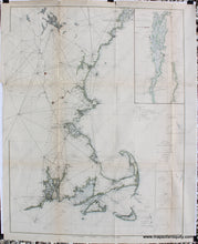
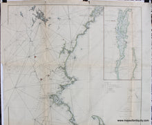
1881
Maker: U.S. Coast Survey.
Hand colored antique coastal chart showing the northeast coast of the United States from Yarmouth ME to New London CT, including Cape Cod, Massachusetts, Narragansett Bay, Rhode Island, Martha's Vineyard and Nantucket, Cape Ann, and the coast of New Hampshire with Lake Winnipesaukee, and the coast of Maine to Casco Bay. Inset map in the upper right corner is Lake Champlain. Sub-sketches of Cultivator and Georges shoals and Davis' Shoals. Major cities noted. With triangulation and coastal detail. Good to very good condition with some toning (which is heavier at the folds), some repaired seam separation, approximately 30.25 x 23 inches to the neatline, with some triangulation lines extending out of the left border.
Item Number: NEW126


