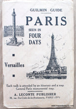
c. 1925
Maker: Leconte
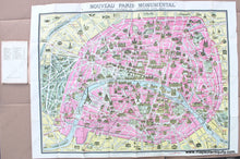
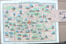
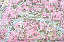
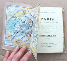
Antique folding maps of Paris and Environs, c. 1925, by A. Leconte, published with a Guilmin Guide "Paris seen in Four Days" that features walking itineraries and a Metro map. On one side of the fold-out map is a map of the environs of Paris featuring illustrations of notable monuments and views. On the other side if a map of the city with illustrations of notable edifices, gardens, etc with a prominent depiction of the Eiffel Tower. This map is undated, but the date can be guessed based on the use of the 1921 population survey in the booklet and the progress of the Metro system. Very good antique condition with mild wear at the folds. Includes booklet. Measures approx. 22" x 29".
Model Number: EUR2796


