1931
Maker: Champlain Transportation Co.
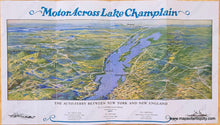
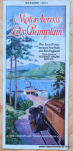
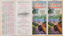
Antique bird's-eye view map of Lake Champlain published by the Champlain Transportation Co. in 1931. This map was made to advertise the auto-ferry beetween Port Kent in New York and Burlington in Vermont. It includes parts of the Adirondack Mountains and Green Mountains, with roads, towns, islands, other lakes in the distance, and Montreal and Mount Royal at the horizon. Gorgeous original printed color. This map could be framed with a mat to hide the text if desired. Map measures approx. 5.75 x 15 inches and total page size is 9 x 16 inches.
Item Number: NYO1159


