Genuine Antique Map
1932
Maker: Fay / McAvoy / NY Hotel Assoc.
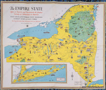
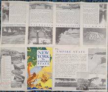
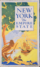
Antique map of the state of New York, compiled by Bertrand T Fay and drawn by Everard A. McAvoy, published by the New York State Hotel Association, 1932. Charming and colorful map with illustrations and historical notes. The Adirondacks, Catskills, and Allegany State Park are indicated in green. Inset map of New York City and Long Island. Back side has black and white photos and text highlighting various topics. Folds as issued. Very good condition with mild wear at the folds. Measures approx. 22.5 x 26.5 inches to the paper edges.
Item Number: NYO1161


