Genuine Antique Hand Colored Map
1903
Maker: Richards.
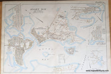
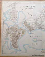
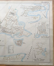
Antique double page map of Onset Bay in Wareham MA, from the Atlas of Plymouth County, Massachusetts, by Richards. Includes insets of Swift's Beach and England Corner sub plans, property owners, buildings and landmarks. Plate 34. Measures approx. 20"h x 30"w, very good condition with some mild spots/stains.
Item Number: MAS919


