circa 1852
Maker: Stieler.
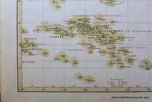
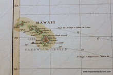
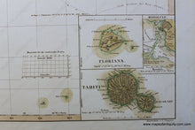
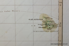
Antique hand colored map of Polynesia, including Hawaii, Tahiti, and the Galapagos, with insets of Floriana, Honolulu, and Tahiti, and the volcano of Hawaii, from Stieler's Hand-Atlas uber alle theile der Erde nach dem neuesten Zustande und uber das Weltgebaude, Gotha, bei Justus Perthes. Very good overall antique condition, approx. 13.25 x 16 inches.
Item Number: OCE026


