1894
Maker: Cram.
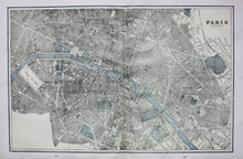
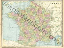
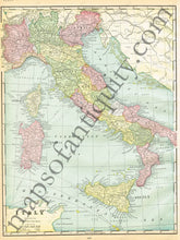
Antique printed color map of Paris (recto map, double-page spread, 286 & 287) featuring city street. Verso: Full color map of France (page 285) with small inset of Corsica in the lower right corner. Verso: Map of Italy (page 288) Including Corsica and Sardinia. Very good condition with some slight toning at the edges. By Cram, in The Standard Atlas and Gazetteer of The World, 1894. Recto Map: Approximately 12" x 18.25" to the neatline. Verso Map left: Approx. 10.5" x 13.5" Verso Map right: Approx. 13.5" x 10" both to the neatline.
Item Number: EUR1835


