1900
Maker: Cram.
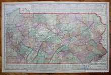
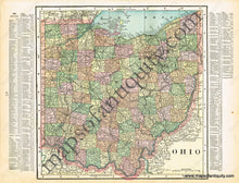
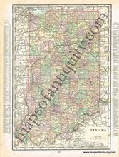
Antique printed color double-sided sheet of Pennsylvania (Recto). Features a list of counties and chief cities at the top and bottom of the map. Verso: (Two Maps) A map of Ohio and a map of Indiana. Both of these maps also feature lists of counties and chief cities; however, they lie outside of the neatlines of the maps. Good condition with some slight overall toning/small brown spots and a very mild water stain at one corner of the sheet. By Cram, in Cram's Universal Atlas Geographical, Astronomical and Historical, 1900. Recto Map (Pennsylvania) measures approximately 21" x 13.5" to the neatline. Map of Ohio measures approx. 10.25" x 10.25" to the neatline. Map of Indiana measures approx. 13" x 8.75" to the neatline. Note: The lists of counties and chief cities are printed outside of the neatlines of the Ohio and Indiana maps. If you would like to purchase any of these maps separate from the others, please contact us.
Item Number: MAT181


