1900
Maker: Cram.
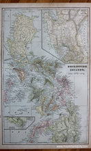
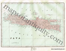
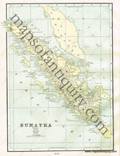
Antique printed color double-sided sheet of the Philippines (Recto). Includes an inset map for a continuation of lower Mindanao and an inset map of the Manila Province (disestablished in 1901) and its vicinity. Verso: (Two Maps) A map of Java and a map of Sumatra. Very good condition with some slight toning at the edges. By Cram, in Cram's Universal Atlas Geographical, Astronomical and Historical, 1900. Recto map (Philippine Islands) measures approximately 20.75" x 13.25" to the neatline. Map of Java measures approx. 8.5" x 12" to the neatline. Map of Sumatra measures approx. 12.5" x 9" to the neatline. (Note: Map of Sumatra extends slightly past the neatline at the left side.) If you would like to purchase any of these maps separate from the others, please contact us.
Item Number: ASI336


