Current hours: 10am to 5pm Tuesday through Saturday. We are closed Sundays and Mondays for the Winter. IMPORTANT PLEASE NOTE: We have become aware that some of our photos have been stolen by other websites. Our maps are only available at our website www.mapsofantiquity.com or at our store!

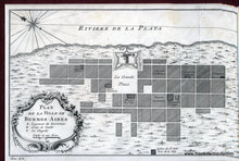
Antique-Map-Plan-de-la-Ville-de-Buenos-Aires
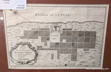
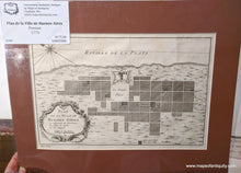
1773 - Plan De La Ville Buenos-Aires Antique Map Genuine
  • Load image into Gallery viewer, Antique-Map-Plan-de-la-Ville-de-Buenos-Aires
  • Load image into Gallery viewer, 1773 - Plan De La Ville Buenos-Aires Antique Map Genuine
  • Load image into Gallery viewer, 1773 - Plan De La Ville Buenos-Aires Antique Map Genuine

1773 - Plan de la Ville de Buenos-Aires - Antique Map

Regular price
$140.00
Sale price
$140.00
Regular price
$175.00
Sold out
Unit price
per 
Shipping calculated at checkout.

Item number: SAM058JR

Genuine Antique Map

1773

Maker: Prevost.

Black and white engraved antique plan of the city of Buenos Aires, from "Histoire Generale des Voyage", published by Harrevelt Changuion, 1773. The Fort of Buenos Aires was built by order of the governor Fernando de Zarate, being designated with the name of Real Fortaleza de Don Juan Baltasar de Austria. Its construction began towards the middle of 1590s, in the land where the Government House is currently located. Originally the fortress had been raised for the defense of the city against possible incursions by pirates, was also the residence of the authorities of Buenos Aires. This map also shows notable buildings such as a cathedral and a hospital. Very good overall antique condition, matted, 7 x 11 inches.

*Special Sale! Now 20% off!

Item Number: SAM058JR