Current hours: 10am to 5pm Monday through Saturday. 12pm to 5pm Sundays. IMPORTANT PLEASE NOTE: We have become aware that some of our photos have been stolen by other websites. Our maps are only available at our website www.mapsofantiquity.com or at our store!

Antique-Coastal-Report-Chart-Preliminary-Chart-of-Nantucket-Shoals-Massachusetts-Cape-Cod-and-Islands-1864-U.-S.-Coast-and-Geodetic-Survey-Maps-Of-Antiquity
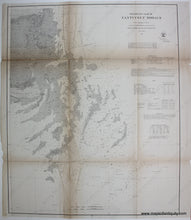
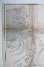
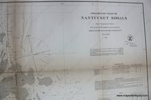
1864 - Preliminary Chart Of Nantucket Shoals Antique Genuine Coastal Report
  • Load image into Gallery viewer, Antique-Coastal-Report-Chart-Preliminary-Chart-of-Nantucket-Shoals-Massachusetts-Cape-Cod-and-Islands-1864-U.-S.-Coast-and-Geodetic-Survey-Maps-Of-Antiquity
  • Load image into Gallery viewer, 1864 - Preliminary Chart Of Nantucket Shoals Antique Genuine Coastal Report
  • Load image into Gallery viewer, 1864 - Preliminary Chart Of Nantucket Shoals Antique Genuine Coastal Report

1864 - Preliminary Chart of Nantucket Shoals - Antique Chart

Regular price
$150.00
Sale price
$150.00
Regular price
Sold out
Unit price
per 
Shipping calculated at checkout.

Item number: MAS084
Genuine Antique Coastal Report Chart

1864

Maker: U. S. Coast and Geodetic Survey.

Antique coastal report chart showing Nantucket Shoals with detailed soundings and bathymetric data, as well as information on Light Houses, Light Vessels, Tides, and Currents. Good condition, paper is lightly toned, note deeper toning along fold lines, many seam separations, all have been repaired but remain visible to close inspection. Approx. 23.25 x 19 inches to neatline.

Item Number: MAS084