1884
Maker: Gray.
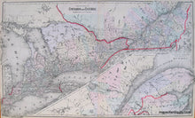
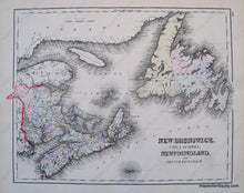
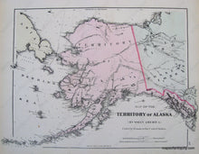
Antique hand colored map from "The National Atlas" of 1884. Three maps back to back. Largest map shows Ontario and Quebec. In this map Alaska was still a U.S. territory and much of modern Northern Canada was British possession. Shows political boundaries of the time, cities, land forms, bodies of water, rivers, and islands. Excellent Antique condition Approx. 16.5 x 28 inches. Alaska map and New Brunswick map are both approx. 12 x 16.5 inches. and cost $95 each.
Item Number: CAN207


