1865
Maker: British Admiralty.
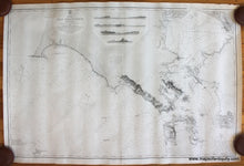
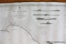
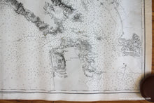
Antique nautical chart of San Francisco Harbor, including the city of San Francisco, Oakland, Vallejo, and the coast to Drake's Bay and Point Reyes. This chart was originally published in 1856 and has corrections up to 1865. By the British Admiralty Hydrographic Office. At top center are four recognition profiles. Includes information on water depths in fathoms, shoals, rocks, lighthouses, channels, and more. This was a working nautical chart and still retains some signs of its age and use. Very good condition with some toning, slight darkening, minor small stains/spots, a tear on the left side at center (repaired with tape that may or may not be archival) and some edge wear. Paper is slightly wavy. Measures approx. 24.75 x 38 inches to the neatline. **NOTE- because this map requires extra insurance for shipping, an additional charge will appear on your card after your original purchase. If you would like to know what that charge will be, please contact us.**
Item Number: NAU353


