1900
Maker: Cram.
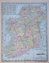
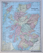
Antique printed color map of Ireland with a map of Scotland on reverse. Both maps include area, population, and a list of chief cities. Very good condition with some slight toning at the edges of the page. By Cram, in Cram's Universal Atlas Geographical, Astronomical and Historical, 1900. Recto map measures approximately 13.5" x 10.5" to the neatline. Verso map measures approx. 13.5" x 10.5" to the neatline.
Item Number: EUR1877


