1875
Maker: Walling / Tackabury.
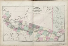
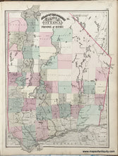
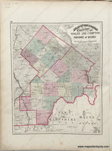
Antique double-sided sheet with centerfold map of the Counties of Chicoutimi and part of Saguenay and reverse side maps: County of Ottawa and Counties of Wolfe and Compton. Published in Tackabury's Atlas of the Dominion of Canada, drawn, compiled, and edited by H.F. Walling and published by George N. Tackabury, 1875. Shows some topography, railroad lines, and major cities and towns. Maps are colored by town. Good antique condition with overall toning, some mild foxing/staining. Centerfold map measures approx. 14 x 24 inches. Smaller maps measure approx. 12 x 15 inches to the neatline. Priced for the full sheet- county maps can be purchased separately for $75- please contact us.
Item Number: CAN340


