Winter hours: Tuesday - Saturday 10am to 5pm. Close Sundays and Mondays until May. We appreciate your business!

Genuine-Antique-Chart-South-Pacific-Ocean-Sheet-1-South-America--1882-/-1902-Hydrographic-Office-of-the-US-Navy-Maps-Of-Antiquity-1800s-19th-century
1882 / 1902 - South Pacific Ocean Sheet 1 - Antique Chart
  • Load image into Gallery viewer, Genuine-Antique-Chart-South-Pacific-Ocean-Sheet-1-South-America--1882-/-1902-Hydrographic-Office-of-the-US-Navy-Maps-Of-Antiquity-1800s-19th-century
  • Load image into Gallery viewer, 1882 / 1902 - South Pacific Ocean Sheet 1 - Antique Chart
  • Load image into Gallery viewer, 1882 / 1902 - South Pacific Ocean Sheet 1 - Antique Chart

1882 / 1902 - South Pacific Ocean Sheet 1 - Antique Chart

Regular price
$250.00
Sale price
$250.00
Regular price
Sold out
Unit price
per 
Shipping calculated at checkout.

Item number: NAU379
Genuine Antique Chart

1882 / 1902

Maker: Hydrographic Office of the US Navy.

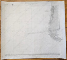
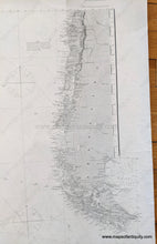
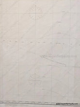
Antique Nautical Chart of the southern part of South America, 1882, corrected to 1902, by the Hydrographic Office of the US Navy. Includes Patagonia, Tierra del Fuego, parts of Chile and Argentina, and a large portion of the Pacific Ocean. Very good condition with some minor creases, some pencil marks apparently showing someone's route. Measures approx. 24 x 26.75 inches to the neatline.

Item Number: NAU379