1848
Maker: Goodrich.
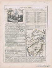
Antique early printed color outlined two-sided page from A National Geography for Schools written by S.G. Goodrich and published by Huntington and Savage in 1848, with engravings of the Battle of Monmouth, and an Iron Mine, with text and tables describing the region, etc. In very good antique condition with minor toning, foxing and general signs of age, page measures approximately 10.5 x 8.5 inches.
Item Number: MAT254


