Genuine Antique Hand Colored Map
1872
Maker: Beers.
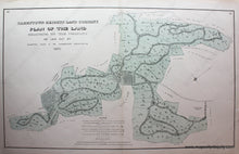
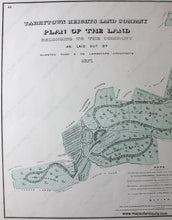
Antique hand colored map showing the plan of the land belonging to the Tarrytown Heights Company including proposed streets, plots, and roadside trees. Published in the County Atlas Of Westchester New York by J.B. Beers & Co. in 1872. Very good overall antique condition. Approx. 15 x 25 inches
Item Number: NYO576


