Genuine Antique Nautical Chart
1890
Maker: Hydrographic Dept. US Navy.
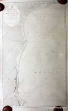
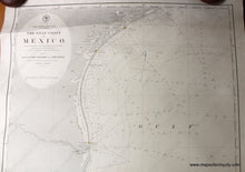
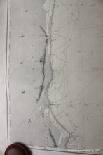
Antique nautical chart showing part of the coasts of Texas and Mexico, by the Hydrographic Office of the US Navy, 1890. This chart shows the Texas coast from Matagorda Island near Corpus Christi down to the Mexico border. The name Rio Grande on this chart references the Rio Bravo, which was called the Rio Grande del Norte. The chart then shows the Mexican coast from the border down to Cabo Rojo near Tampico. This chart has been restored and rebacked, it has overall toning, some minor spots, a repaired tear near the title, and some small repaired tears at the upper edges. Remember that this was a working document that was used to navigate these waters on a ship in the late 1800s, so some signs of use are to be expected. approx. 42 x 25.5 inches. **NOTE- because this map requires extra insurance for shipping, an additional charge will appear on your card after your original purchase. If you would like to know what that charge will be, please contact us.**
Genuine Antique Chart from 1890
Item Number: NAU261


