1949
Maker: Bank of America.
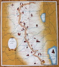
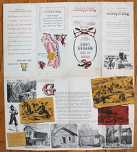
Antique printed color pictorial map of part of California, published in 1949 by Bank of America. This map features historical and humorous information about the gold rush, local lore, and a variety of subjects. With major roads and stars marking Bank of America locations. Shows the area from Sierraville to Mariposa. Very good condition with folds as issued. Approx. 17.5 x 15.5 inches to the paper edges.
Item Number: WES361


