1828
Maker: Blunt.
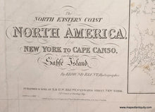
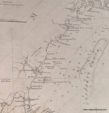
Great representation of Long Island, George's Bank, and Cape Cod and the Islands, with insets of Halifax Harbor, Buzzards' Bay, and Boston Harbor. By Edmund Blunt, 1828, with additions to 1847. Good strike, the antique chart has been restored, remounted on a new blue back surface. Very good condition, 38.5 x 76 inches. **NOTE- because this map requires extra insurance for shipping, an additional charge will appear on your card after your original purchase. If you would like to know what that charge will be, please contact us.**
Item Number: NAU101


