1951
Maker: USGS/U.S. Geological Survey
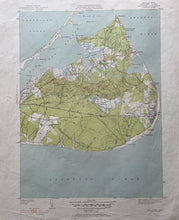
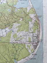
Antique topographic map of Sciasconset, Mass. on Nantucket Island, includes Sauls Hills, Polpis Harbor, Sesachacha Pond, Nantucket Memorial Airport, Tom Nevers Head, Wauwinet, Cotue Point. This map is in good antique condition with minor wrinkles and creases along the edge and the sheet measures approximately 21" h x 17"w. Printed in 1951.
Item Number: TOP118


