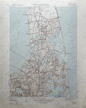
Genuine Vintage Map
1947
Maker: USGS/U.S. Geological Survey
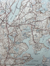
Antique topographic map of Orleans, Mass., on Cape Cod, includes Eastham, and parts of Nickerson State Park. This map is in good to very good antique condition with some edge wear. The sheet measures approximately 21" h x 17"w. Printed in 1947 of a 1944 map.
Item Number: TOP134


